Discover the powerful utility of geology maps for understanding the United States geological landscape. This comprehensive guide, perfect for Gen Z and Millennial explorers, breaks down how to read, interpret, and utilize these essential scientific tools. From identifying ancient rock formations to understanding potential natural hazards, geology maps offer invaluable insights into our planet's dynamic history. Learn where to access reliable geology map data, how to leverage Local MAPs for field excursions, and uncover key features crucial for academic research, outdoor adventure planning, and resource exploration. This resource helps you navigate the complex world of geological information, ensuring you can confidently explore and understand the earth beneath your feet. It's designed for immediate clarity and practical application, helping you quickly find what you need to know about geological mapping.
- What is the primary function of a geology map? - A geology map visually represents the distribution of rock units, geological structures like faults and folds, and surface deposits in a specific area. Its main function is to help geologists and researchers understand the subsurface composition, historical geological processes, and identify potential resources or hazards within a region.
- How do geologists use color and symbols on a geology map? - Geologists use a standardized legend where different colors represent distinct rock types or stratigraphic units, often indicating their age. Symbols denote structural features such as strike and dip measurements, fault lines, fold axes, and contact relationships, providing a comprehensive visual language for geological interpretation.
- Where can I access reliable digital geology maps for my local area? - You can access reliable digital geology maps through the U.S. Geological Survey (USGS) website, state geological surveys, and university geology departments. Many offer interactive online viewers or downloadable high-resolution map files, often compatible with GIS software, for detailed local geological information and research.
- What role does a geology map play in identifying natural hazards? - Geology maps are critical for identifying natural hazards by pinpointing active fault lines, areas prone to landslides, volcanic regions, and susceptible zones for ground subsidence. This information is essential for urban planning, infrastructure development, and implementing effective disaster preparedness strategies for communities.
- How does a geology map differ from a standard topographic map? - While both provide spatial information, a topographic map emphasizes elevation contours, landforms, and human-made features. A geology map, however, focuses on the subsurface geology, displaying rock types, structural features, and their age relationships, offering insights into the Earth's internal composition rather than just its surface relief.
- Can geology maps assist in environmental planning and resource management? - Absolutely, geology maps are invaluable for environmental planning and resource management. They help locate groundwater aquifers, assess potential pathways for pollutant migration, identify suitable sites for waste disposal, and inform decisions about mineral and energy resource extraction, contributing to sustainable land use and conservation efforts.
- Are there interactive online tools for exploring geology maps? - Yes, many governmental agencies and academic institutions provide interactive online tools for exploring geology maps. These platforms often allow users to zoom, pan, toggle different geological layers, and access detailed information about specific rock units or features, enhancing accessibility and understanding for a broad audience.
- Q: What essential information does a geology map provide?
- A: A geology map provides crucial data on rock types, geological structures like faults and folds, stratigraphic units, and surficial deposits. It illustrates the spatial distribution and relationships of these features across a given area, vital for understanding subsurface conditions.
- Q: How do colors and symbols function on a geology map?
- A: Colors on a geology map typically represent different rock units or formations, often correlated with geological age. Symbols denote structural features such as strike and dip, fault lines, fold axes, and other geological observations, conveying complex information concisely.
- Q: Where can I download high-resolution geology maps for the US?
- A: The U.S. Geological Survey (USGS) is the primary source for high-resolution geology maps across the United States. Their website offers extensive online databases and publications for free download, providing detailed geological information for various regions.
- Q: Can a geology map help identify natural hazards?
- A: Yes, geology maps are instrumental in identifying natural hazards such as earthquake fault lines, landslide-prone areas, volcanic zones, and regions susceptible to subsidence. Understanding these features is critical for risk assessment and land-use planning.
- Q: What is the difference between a topographic map and a geology map?
- A: A topographic map shows elevation contours, terrain features, and human-made structures, focusing on surface morphology. A geology map, conversely, illustrates the distribution of rock types and geological structures beneath the surface, providing insight into Earth's composition and history.
- Q: How are geology maps used in environmental studies?
- A: In environmental studies, geology maps help identify groundwater resources, assess contaminant migration pathways, locate suitable sites for waste disposal, and understand soil compositions. They are fundamental for environmental impact assessments and resource management.
- Q: Are digital geology maps as accurate as traditional paper maps?
- A: Digital geology maps can be just as, if not more, accurate than traditional paper maps, often offering greater detail and interactive features. They allow for easy integration with GIS software and real-time GPS positioning, enhancing field utility and data analysis capabilities.
Understanding the ground beneath your feet starts with a geology map. For outdoor enthusiasts, students, and curious minds across the United States, these maps are critical tools for unlocking Earth's ancient stories and modern dynamics. They provide a visual representation of rock types, geological structures, and surface features, making complex geological data accessible for everyone. Whether you're planning a hike, a research project, or simply want to know more about your local environment, a reliable geology map is your ultimate guide.
Frequently Asked Questions
Where can I find the best geological sites in the US for map study?
The Grand Canyon in Arizona, Yosemite National Park in California, and the Appalachian Mountains along the East Coast offer exceptional geological exposure. These locations provide diverse rock types and structural features perfect for hands-on geology map interpretation and field study.
How do I use Local MAPs to navigate to geological points of interest?
Pull up your preferred mobile Maps app like Google Maps or Apple Maps to verify real-time directions and potential access restrictions to geological sites. Always cross-reference with specific park or land management websites for current conditions and check-in procedures before heading out. Consider downloading offline geology map sections for areas with limited connectivity.
What are the best times to visit geological formations for field mapping?
Spring and fall typically offer the most favorable conditions for field mapping, providing moderate temperatures and clearer visibility of rock outcrops. Avoid extreme weather, such as heavy rain or snow, which can obscure features and create hazardous conditions. Early mornings often provide optimal lighting for observing geological details.
Here’s a quick guide to renowned US geological sites and their accessible locations:
- Yellowstone National Park / Wyoming Montana Idaho (Volcanic Features Geothermal Activity)
- Zion National Park / Springdale Utah (Navajo Sandstone Canyon Formations)
- Rocky Mountain National Park / Estes Park Colorado (Alpine Glacial Landforms Precambrian Rocks)
- Death Valley National Park / Furnace Creek California Nevada (Fault Blocks Salt Pans Igneous Formations)
- Great Smoky Mountains National Park / Gatlinburg Tennessee North Carolina (Metamorphic Sedimentary Rocks Ancient Mountain Building)
Reading a geology map involves understanding its legend, which details rock types, ages, and structural symbols like faults and folds. Colors often represent different rock units, while specific patterns indicate lithology. For instance, a particular shade of blue might denote a limestone formation from the Paleozoic era, while a red line with teeth might signify a thrust fault. Accurate interpretation requires attention to these details, which tell a story about Earth's dynamic past and present. Many geological surveys, like the USGS, provide online repositories of detailed geology map data, often available for free download.
When planning an expedition or simply exploring your backyard, integrating digital Maps with traditional geological knowledge enhances your experience. Modern Local MAP applications allow for overlaying geology map information, providing real-time location data relative to geological features. This capability is particularly useful for field geologists, educators, and recreational users who want to identify specific rock outcrops or understand the regional tectonic setting. Always ensure you have the correct scale and projection when combining different map sources to maintain accuracy.
Beyond academic use, geology maps are vital for practical applications, including urban planning, groundwater management, and identifying areas prone to landslides or earthquakes. For example, knowing the location of active faults on a geology map is crucial for safe infrastructure development. Similarly, understanding aquifer distribution helps manage water resources efficiently. These maps are dynamic documents, constantly updated with new research and field observations, reflecting our evolving understanding of complex geological processes. They are indispensable for informed decision-making regarding land use and environmental protection.
Understanding geological symbols and colors. Accessing digital geology maps. Utilizing maps for field exploration. Identifying rock types and structural features. Planning trips to geological points of interest. Recognizing potential geological hazards. Leveraging Local MAPs for navigation.


The USGS Cooperative National Geologic Map USGS 1210 1 . Geologische Karte Usa Usgs Geological Map GYMI Geological Map Of The Usa Us Geological Photo Library . Home Geological Map Of The World Commission Carte Totale Cropped . The 2026 Meeting Of The Geologic Maps Foundation Inc Facebook Media. Connecting Wild Places Landscapes Of Kilian Jornet S States Of Running The Numbers USGS Geologic Map Of North America


USGS Presents Detailed National Scale Geologic Map Mining National Geologic Map . Press Release Utah Geological Survey Unveils New Calendar A Tale Of Calendar 2026 Mockups Map . 2026 U S Earthquake Map Is Your State In The Danger Zone Prepper USA MAP EARTHQUAKE 2026 . Geological Map Wikipedia 960px World Geologic Provinces . Geologic Maps Usageolmap Allllr


Geology Sans Fronti Res British Geological Survey Website Banner . USGS Unveils Most Detailed US Geologic Map Metal Tech News S . 2026 Colorado Geology Calendar Colorado Geological Survey Colorado 2026 Cover. 33 Facts About Geological Mapping Facts Net 33 Facts About Geological Mapping 1741733481 . World Map And Year 2026 Of The World Map With The Year 1000 F 1754974276

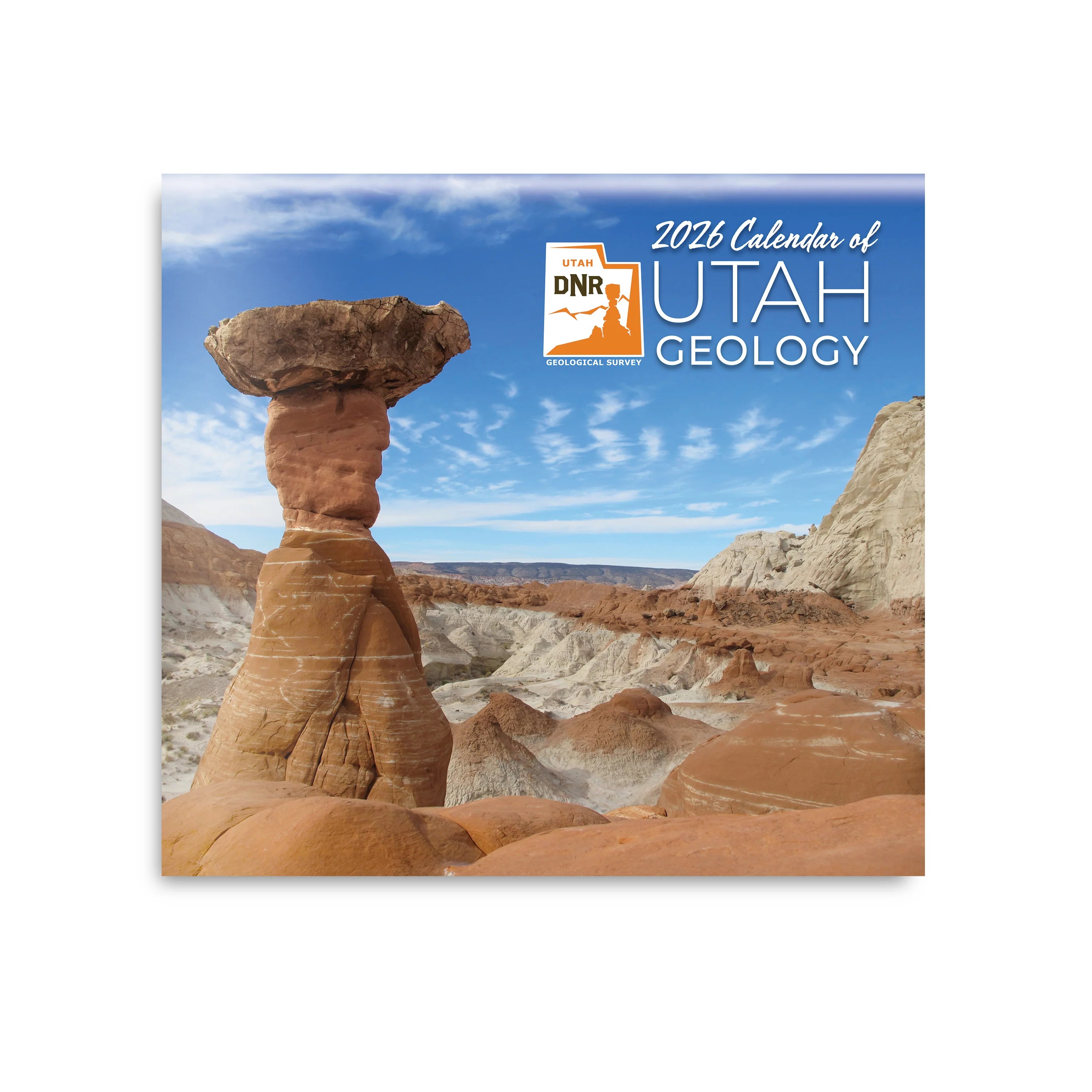


2026 World Map A Stylized World Map Video Overlaid With 1000 F 1755037871 . 2026 Calendar Of Utah Geology The Natural Resources Map Bookstore Front Cover . Geology Of Ore Deposits 2026 Vol 68 Is 1 Web 0001 . Geological Map Of The World Geology 1970 Lg . Geologic Map Of New York Map Of Snt42 1 Sevier Valley Cross Section Reference
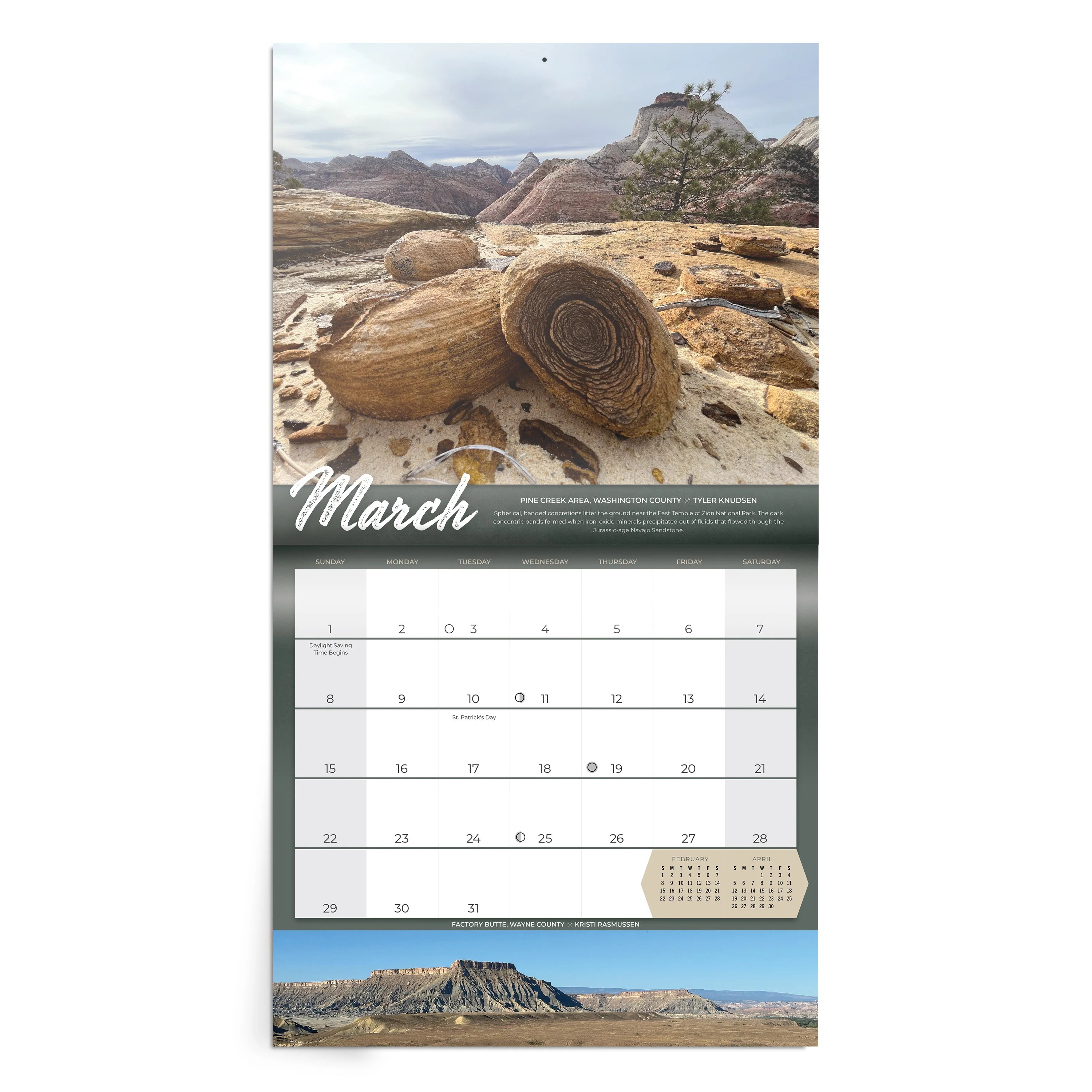


2026 Calendar Of Utah Geology The Natural Resources Map Bookstore March . Prehistoric Geology 1920x0 . Geological Map Of The World Geological Mapping Pillars . Texas Gardening Zones By County R1 11 1 22 . 2026 Calendar Of Utah Geology Utah Geological Survey Calendar 2025 1 500x500c


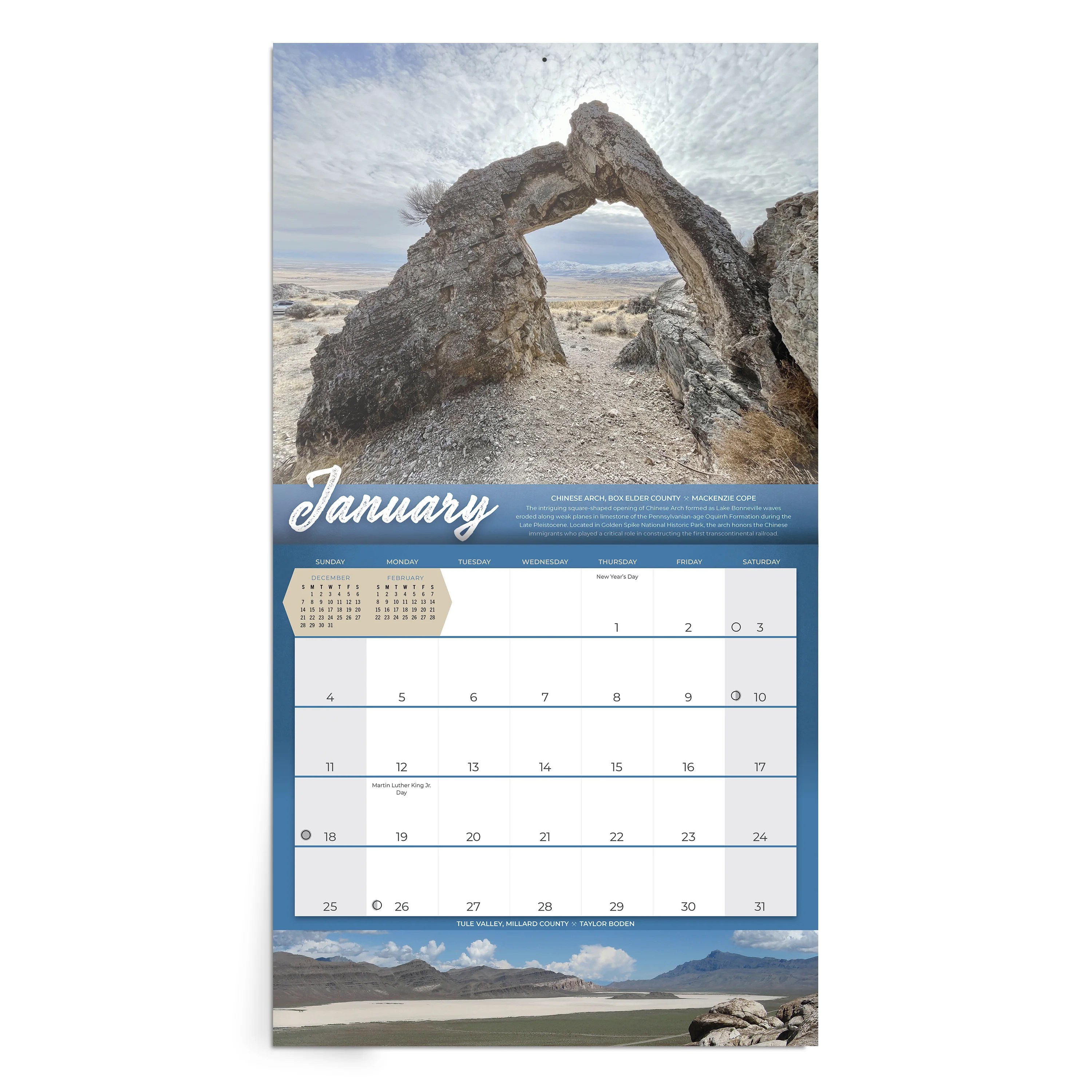

New Risk Map 2026 Reveals The World S Most Dangerous And SAFETURE Riskmap 2026 EN 251114 1024x724 . Thomas Davis Today January 20 2026 The Geologic Map Facebook Media. 2026 Calendar Of Utah Geology Utah Geological Survey UGS Calendar 2026 Final . 2026 Calendar Of Utah Geology The Natural Resources Map Bookstore January . Half Day Geology Walk SAGA 2026 SAGA 2026 SHARE IMAGE 1
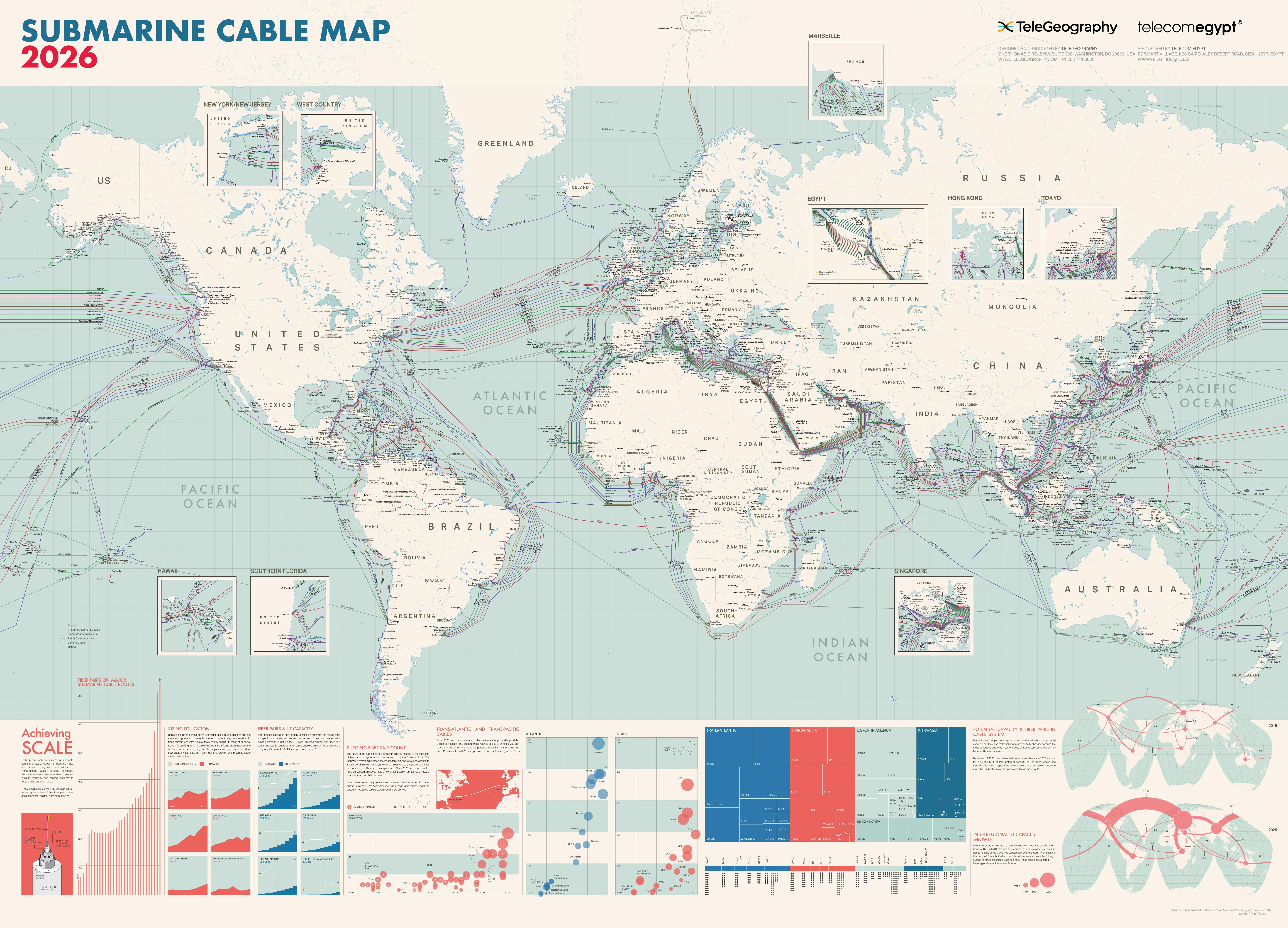


S 2026 Submarine Cable Map Submarine Cable Map 2026 Global . Geologic Map Of The Furner Ridge Quadrangle Juab County Utah I 1045 Geologic Map Of The Furner Ridge Quadrangle Juab County Utah I 1045. Zoom Map Image Gemini Generated Image . It S Tiiiiiiime Our 2026 Colorado Geological Survey Facebook Media