Discover the fascinating world of medieval maps, exploring their historical context, unique characteristics, and enduring appeal for U.S. enthusiasts in 2026. This comprehensive guide helps you understand how these ancient documents represented the known world, blending geographical accuracy with symbolic artistry and spiritual beliefs. Learn where to find authentic reproductions or digital versions, compare different styles like Mappa Mundi or portolan charts, and understand their value for historical research, educational purposes, or simply as captivating art. We cover how to interpret their symbols, what to look for when buying, and why these historical artifacts continue to trend among collectors and students across the United States. Get insights into their availability, common price ranges, and how they connect to our modern understanding of geography and culture, empowering you to explore this rich historical domain with confidence and insight.
- What exactly is a medieval map? - A medieval map shows the world or regions as understood during the Middle Ages, typically from the 5th to 15th centuries. These maps often blended geographical knowledge with theological and mythical elements, reflecting the worldview of the era. They served purposes ranging from navigation to religious instruction and historical documentation.
- How were medieval maps created without modern technology? - Medieval maps were often drawn by hand by scribes or cartographers, using observations from travelers, ancient texts, and religious doctrine. They relied on rudimentary surveying techniques, compasses for direction, and detailed knowledge of coastlines or known routes. The artistic skill involved was immense, creating unique, hand-crafted documents.
- Can I buy a real medieval map in the U.S. today? - Buying an original medieval map is extremely rare and costly, usually involving specialized auction houses and expert dealers. Most individuals instead purchase high-quality reproductions. These reproductions offer the beauty and historical detail of the originals at a fraction of the cost, making them accessible for enthusiasts and collectors in the U.S.
- What is a Mappa Mundi and how does it differ? - A Mappa Mundi is a type of medieval world map that is typically circular or oval. It often places Jerusalem at its center and East at the top, representing theological and symbolic views of the world rather than strictly geographical accuracy. These maps frequently include biblical scenes, mythical creatures, and moral lessons within their geographic depiction.
- Are there digital versions of medieval maps available? - Yes, many major libraries, museums, and historical archives worldwide have digitized their medieval map collections. These digital versions are often high-resolution and freely accessible online, allowing anyone in the U.S. to explore intricate details from home. This provides an excellent resource for research, education, and general historical interest.
- How accurate are portolan charts from the medieval era? - Portolan charts were remarkably accurate for depicting coastlines and harbors in the Mediterranean and Black Sea regions during the medieval period. Designed for practical maritime navigation, they featured detailed coastlines, rhumb lines indicating compass directions, and precise place names. Their focus was on utility, making them far more geographically reliable than symbolic Mappa Mundi.
- What should I look for when buying a medieval map reproduction? - When buying a reproduction, look for clear print quality, accurate colors, and details about the original map it replicates. High-quality reproductions often use archival inks and paper, ensuring longevity. Check customer reviews, compare prices, and confirm the seller's return policy to ensure you get a product that meets your expectations for historical accuracy and aesthetic appeal.
What is the oldest known medieval map?
The oldest known medieval map is often considered to be the Tabula Peutingeriana, a copy of an ancient Roman road map. While its original dates back to the Roman Empire, the surviving copy is from the 13th century. It details the road network of the Roman Empire, parts of Asia, and North Africa, providing a unique look at historical travel routes and geographical knowledge across vast territories during that period.
How accurate were medieval maps for navigation?
The accuracy of medieval maps varied significantly depending on their purpose. Portolan charts, used for maritime navigation, were remarkably accurate along coastlines, especially in the Mediterranean. They focused on practical sailing data. However, Mappa Mundi, which were more theological or symbolic, often distorted geography in favor of religious or conceptual representations, making them less accurate for direct navigation over land or sea.
Did medieval maps show America?
No, medieval maps created before Christopher Columbus's voyages in 1492 did not depict the Americas. The known world on these maps typically encompassed Europe, Asia, and Africa. Early world maps from the medieval period, such as the various Mappa Mundi, illustrate this limited geographical understanding, as the American continents were unknown to European cartographers at that time.
Are medieval maps valuable to collectors today?
Original medieval maps are exceedingly rare and highly valuable to collectors, often commanding significant prices at auction due to their historical and artistic importance. Reproductions, while not financially appreciating in the same way, hold value for educational purposes, historical study, and as decorative pieces. Their value is in their ability to make history accessible and visually engaging for a broader audience.
Where can I see original medieval maps in the U.S.?
Original medieval maps are preserved in select major museums and university special collections across the U.S. Institutions like the Library of Congress in Washington D.C., The New York Public Library, and the Huntington Library in California often house significant collections of historical cartography. It is advisable to check their specific exhibition schedules or special collections access policies before planning a visit to view these rare artifacts.
Understanding the Medieval Map LandscapeMedieval maps offer a unique window into how people perceived their world during the Middle Ages, roughly from the 5th to the 15th century. These are not just navigational tools in the modern sense; they are rich cultural artifacts. They combine geographical knowledge, religious understanding, and artistic expression, giving us a powerful glimpse into a time long past.
For U.S. searchers, exploring a medieval map can spark curiosity about history, geography, and art. Whether you are a student, a collector, or just curious, knowing what these maps represent and where to access them is a valuable skill. This article will guide you through their significance, help you find them, and explain how to understand their intricate designs.
From intricate Mappa Mundi depicting the entire known world with Jerusalem at its center, to practical portolan charts used by sailors, medieval maps come in many forms. Each type tells a different story about exploration, faith, and the limits of human knowledge during that era. Understanding these distinctions helps you appreciate their historical weight and artistic merit.
What Defines a Medieval Map and Its Purpose?
A medieval map is a cartographic representation created during the medieval period. These maps often differed greatly from the precise, scientifically derived maps we use today. They often prioritized spiritual or conceptual accuracy over geographical scale, including fantastical creatures, biblical narratives, and symbolic city placements.
The main purpose of these maps varied widely. Some, like the Mappa Mundi, served as encyclopedic visual summaries of global knowledge, intended for intellectual or religious contemplation rather than practical travel. These might be found in churches or monastic libraries, guiding minds rather than ships.
Other maps, such as portolan charts, were more practical. These were crucial for maritime navigation, especially in the Mediterranean and Black Seas. They displayed coastlines with remarkable accuracy, along with rhumb lines indicating compass directions, helping sailors plot their courses efficiently across known waters. Knowing their specific function clarifies how each map type was created and used.
Exploring Different Styles of Medieval Cartography
Medieval maps are generally categorized into several styles, each with distinct characteristics. The Mappa Mundi, for instance, are circular or oval world maps, often oriented with East at the top, representing the Garden of Eden or the rising sun. They typically feature Jerusalem at their center, symbolizing its spiritual importance, and sometimes show the three known continents: Asia, Europe, and Africa.
Portolan charts present a stark contrast. These navigational maps are characterized by detailed coastlines, a network of intersecting lines from compass roses, and place names written perpendicular to the coast. They are notably more accurate in depicting coastlines and harbors than Mappa Mundi, focusing purely on practical maritime information without the religious symbolism.
Another style includes regional maps and itineraria, which were often route maps designed to show roads and distances between cities. These were simpler, text-heavy documents or visual representations of routes, essential for overland travel. Understanding these diverse styles helps you appreciate the full spectrum of medieval mapping efforts.
Where Can I Find Authentic Medieval Map Reproductions?
For those in the U.S. looking for high-quality medieval map reproductions, several reputable sources exist. Online, major retailers and specialized historical map stores offer a wide selection. Websites dedicated to antique maps often provide detailed digital images and information about the original source of their reproductions, ensuring accuracy.
Physical locations also offer opportunities to view or purchase reproductions. Museum gift shops, especially those in larger cities with significant history or art collections, frequently stock beautifully printed replicas of famous medieval maps. Check local university libraries or specialty bookstores near you for potential sources or recommendations.
When searching, consider checking reviews and comparing options across different vendors. Look for reproductions that specify the original map source, the print quality, and the materials used. Many collectors prefer giclée prints for their color accuracy and archival quality, ensuring your reproduction lasts for years to come. Always ensure the seller has clear return policies for peace of mind.
Tips for Evaluating Medieval Map Reproductions Online
Purchasing medieval map reproductions online requires careful evaluation to ensure you get a quality product. Start by examining high-resolution images provided by the seller. Look for clarity in text, crisp lines, and vibrant, accurate colors. If the image quality is poor on the listing, the reproduction itself might also be subpar.
Read customer reviews and ratings thoroughly. Past buyers often share insights into print quality, shipping, and customer service. Websites like Amazon, Etsy, or specialized art print sites will have review sections. Pay attention to comments about paper type, ink longevity, and how closely the reproduction matches the original artwork.
Compare pricing across multiple vendors. While price is not the only indicator of quality, extremely cheap reproductions might compromise on materials or print resolution. Balance cost with reputation and product details. Consider contacting the seller directly with any questions about their printing process or the historical accuracy of their reproductions.
How Can I Interpret the Symbols and Layout of a Medieval Map?
Interpreting a medieval map involves understanding its unique visual language. Unlike modern maps that use a standardized legend, medieval maps relied on a mix of religious, mythological, and geographical symbols. Often, East is at the top, a common orientation symbolizing the direction of the Holy Land or paradise.
Look for key geographical features like mountains, rivers, and oceans, which might be represented pictorially rather than abstractly. Cities were often depicted as detailed buildings or castles, with important cities like Jerusalem frequently exaggerated in size or placed centrally. Pay attention to labels, which might be in Latin or an early form of a European language.
Beyond geography, medieval maps frequently include symbolic imagery. Dragons or sea monsters might guard the edges of the known world, representing unexplored or dangerous territories. Biblical figures or scenes could be integrated into the landscape, particularly on Mappa Mundi, providing religious context. Understanding these elements unlocks the map's full story.
Deciphering the Meaning Behind Medieval Map Symbolism
The symbolism on medieval maps is incredibly rich and varied, offering insights into the medieval worldview. For example, the placement of Jerusalem at the center of many Mappa Mundi reflects its spiritual centrality in Christian theology, not its physical location. This emphasizes the map's role as a theological and cultural document rather than solely a navigational one.
The presence of mythical creatures in uncharted waters or distant lands often conveyed fears of the unknown or the exotic nature of remote regions. These creatures served to illustrate stories and beliefs about the world's boundaries and hidden wonders, reminding viewers of both its dangers and its marvels. They are not merely decorative but deeply meaningful.
Rivers like the Nile or legendary places like the Garden of Eden might be shown prominently, even if their exact geographical location was uncertain. These inclusions highlight the medieval integration of classical knowledge, biblical narratives, and contemporary exploration. Interpreting these symbols correctly helps you grasp the full narrative embedded within each map.
Is Acquiring a Medieval Map Reproduction a Good Investment?
Acquiring a high-quality medieval map reproduction can be a good investment, particularly for educational or decorative purposes. While it may not appreciate financially like an original antique, a well-made reproduction offers lasting aesthetic and historical value. It allows you to enjoy the artistry and learn from the history without the prohibitive cost of a genuine artifact.
For students and educators, reproductions serve as invaluable learning tools. They provide visual context for historical studies, enabling a deeper understanding of medieval geography, culture, and belief systems. Owning a reproduction makes these complex historical documents accessible for hands-on study and discussion.
As a decorative piece, a medieval map reproduction can add significant character to a home or office. Its historical charm and intricate design can be a focal point, sparking conversations and reflecting a sophisticated interest in history. The best reproductions use archival inks and papers, ensuring the colors stay vibrant for many years, enhancing its long-term appeal.
Factors to Consider Before Buying a Medieval Map Reproduction
Before purchasing a medieval map reproduction, consider several factors to ensure satisfaction. First, think about the size and scale that best fits your intended display space. Larger prints can capture more detail but require ample wall space, while smaller ones are versatile. Measure your area to visualize the fit.
Next, evaluate the historical accuracy and clarity of the reproduction. Does the seller provide information about the original map it replicates? Is the text legible, and are the colors true to what is known of the original? A good reproduction will be faithful to its source, offering an authentic visual experience.
Finally, consider the materials and printing technique. Giclée prints on archival paper are often recommended for their quality and longevity. Frame options are also important; some sellers offer framed prints, while others provide unframed options, allowing you to choose a frame that matches your decor. Thinking through these details will help you make a confident purchase.
Conclusion: Embracing the Legacy of Medieval Maps
Medieval maps are much more than archaic drawings; they are profound expressions of human curiosity, faith, and the desire to chart the unknown. For U.S. enthusiasts, they represent an exciting intersection of art, history, and geographical exploration. Whether you are seeking a detailed Mappa Mundi for study or a vivid portolan chart to adorn your wall, the journey into medieval cartography is rich and rewarding.
By understanding their various styles, historical contexts, and symbolic meanings, you gain a deeper appreciation for how our ancestors viewed the world. High-quality reproductions make this rich history accessible to everyone, allowing you to bring a piece of the past into your present. Take the time to research, compare options, and choose a map that speaks to your interests and enriches your understanding.
We encourage you to explore online historical map archives, visit museum exhibits, or connect with specialty dealers. These resources can help you find the perfect medieval map reproduction, offering both a beautiful decorative item and a perpetual source of historical insight. Begin your exploration today and uncover the stories held within these ancient geographic treasures.
medieval map meaning, where to find medieval maps, types of medieval maps, how to read old maps, buy medieval map reproductions, value of medieval maps, medieval cartography history, best medieval map resources
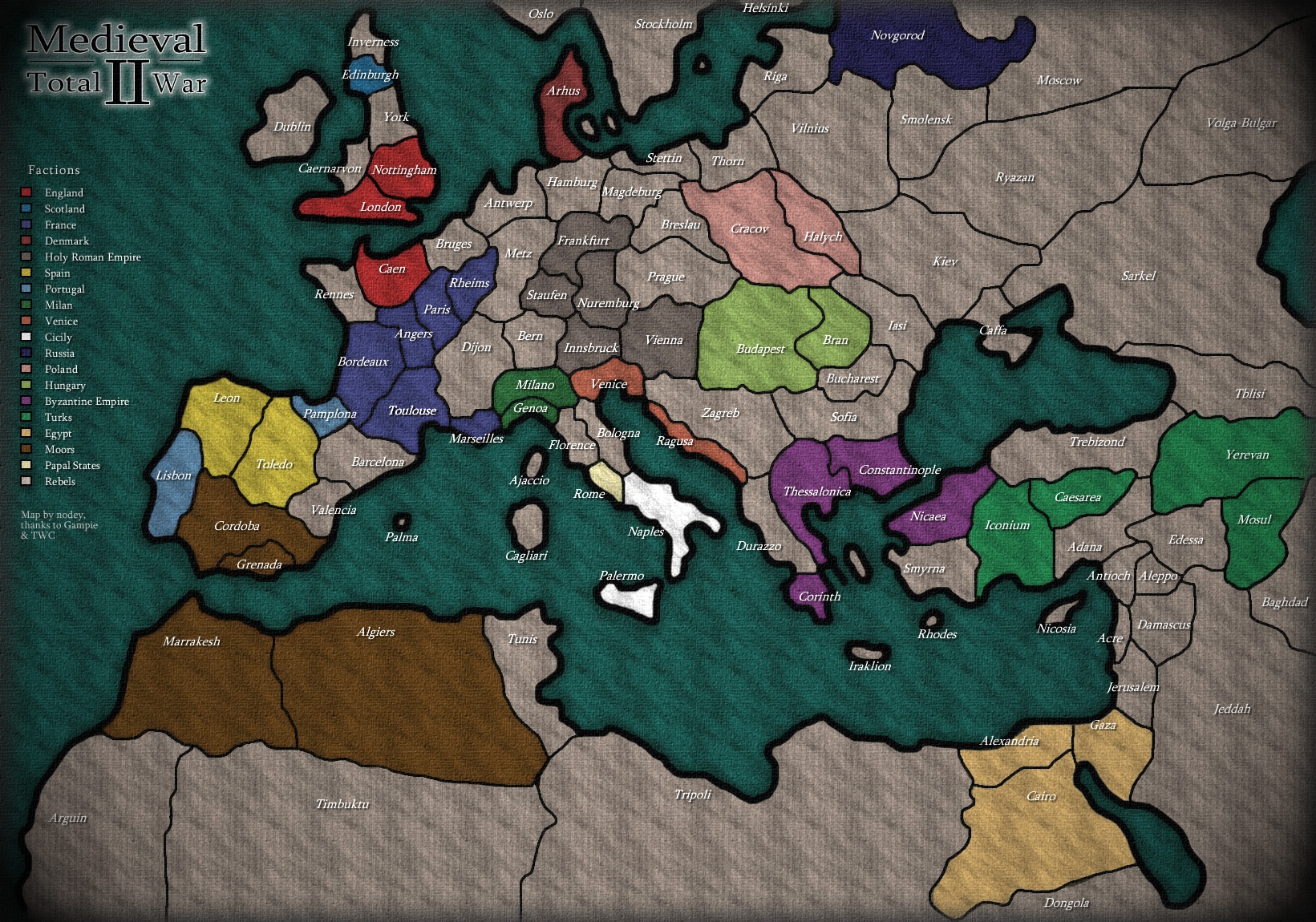


Medieval 2 Total War Medieval 2 Map . Medieval Maps Britain Net Medieval Maps Britain . Fictional Maps Generator Fmg2dcover 1920x1080 Medieval Cities Cartography Assets . Aged Coastal Realm Medieval Fantasy Map Online Jigsaw Chart Of Auria Aged Coastal Realm Medieval Fantasy 4897ddf . ANTIQUE MAPS 2026 Kalender 2026 Englisch Kalender Media 01.webp


World Medieval Dynasty IGN Preview . Medieval Dynasty Map And Locations Guide TechRaptor Medieval Dynasty Map And Locations Guide Cover Image Map Of The Valley At An Angle . Medieval Dynasty NEW MAP Coming Co Op Mode And Easter Eggs YouTube . Pittsburgh Renaissance Festival 2026 Pittsburgh Renaissance Festival 2026.webp. Maryland Renaissance Festival 2026 Maryland Renaissance Festival 2026.webp


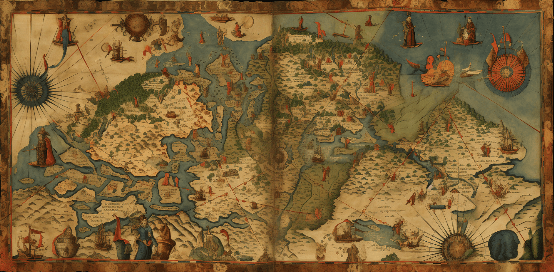

Geelong Medieval Festival 2026 Geelong Showgrounds 7 November To 8 Rimg W1080 H1350 Dcb8c8b8 Gmir. Free Medieval Fantasy Map Image Fantasy Medieval Map Download At Medieval Fantasy Map Stockcake . Antique Maps 2026 A5 Padded Diary Zmart Australia 2026 Padded Diary Antique Maps . A Brief Look At Medieval Maps And Travel Guides RRZC Medieval Map . Medieval Dynasty Roadmap Diese Updates Kommen 2024 22 JZIPJK



Medieval Dynasty Road Map 2025 Medieval Dynasty Map EVUEL Roadmap . Fra Mauro The Magnificent Medieval Map That Made Cartography Into A SEI 182073038 . Com Montiel Medieval 2026 . How To Select The Perfect Map In 2026 For Your Needs 13616905 6b41 48fd A090 . SD Medieval Hands On Maps For Middles Hardcopy BiblioPlan Store 4779989693



Antique Maps 2026 Bookmark Calendar 5308493212 . Explore This Fascinating Map Of Medieval Europe In 1444 Medieval Europe Map . FOG Medieval Kingdoms Empires 2026 Field Of Glory The Few Good 258 Medieval Empires 2026 New Playtest Copy Sample.webp. Conference Medieval Congress 2026 Institute For IMC 2026 . Medieval Town Map Stephane Arson Cite Markan 1920


World Map And Year 2026 Of The World Map With The Year 1000 F 1754974276 . Fiestas Del Medievo De Villena 2026 Alicante MERCADOS MEDIEVALES Mercados Medievales 2026 1200 1080x565 . Dark Cinematic Medieval City RPG Map High Resolution AI Art 3d Isometric Medieval City Rpg Map. Mappa Mundi The Greatest Medieval Map In The World P0hbkxbv .webp. Net


FURIA Dismantle G2 On Ancient And Dust2 To Reach EWC 2026 Semi Finals Furia Dismantle G2 On Ancient And Dust2 To Reach Ewc2026 Semi Finals.webp. Medieval Maps And Mapping Resources ZZZAC Maps Middle Ages Catalan Atlas . Medieval Dynasty Pubblicata La Roadmap 2026 Vgmag It Medieval Dynasty Roadmap 2026 1024x576 . Mystical 2026 World Map With Ancient Navigators And Divine Guides Stock Mystical World Map Ancient Navigators Divine Guides Intricately Detailed Vintage Style World Map 412429320 . New From Our Medieval Research Blog Reading The Medieval Landscape Map.webp